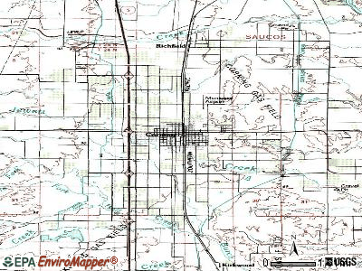
Corning Municipal Airport (FAA LID: 0O4) is located one mile northeast of Corning, in Tehama County, California, United States. The National Plan of Integrated Airport Systems for 2011–2015 categorized it as a general aviation facility.
Facilities
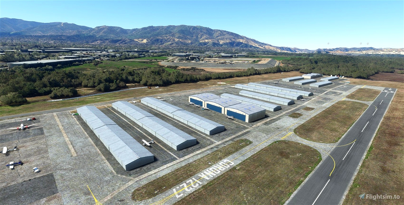
The airport covers 77 acres (31 ha) at an elevation of 293 feet (89 m). Its one runway, 17/35, is 2,702 by 50 feet (824 x 15 m) asphalt.
In 2011 the airport had 8,718 aircraft operations, average 23 per day: 99% general aviation and 1% air taxi. 23 aircraft were then based at this airport: 74% single-engine and 26% ultralight.
References
External links
- Airport Commission at City of Corning website
- Aerial image as of August 1998 from USGS The National Map
- Resources for this airport:
- FAA airport information for 0O4
- AirNav airport information for 0O4
- FlightAware airport information and live flight tracker
- SkyVector aeronautical chart for 0O4