The Corbières Massif (French: Massif des Corbières [masif de kɔʁbjɛʁ]; Catalan: Corberes; Occitan: Corbièras) is a mountain range in the Pre-Pyrenees. It is the only true foothill of the Pyrenees on their northern side.
Geography
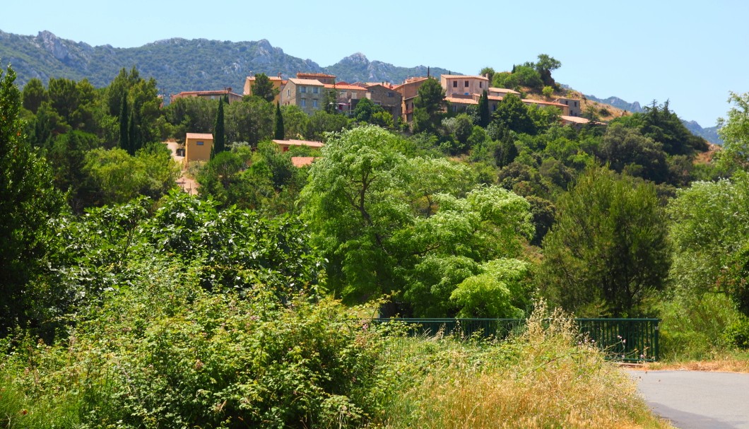
The Corbières are a mountain region in the Languedoc-Roussillon in southeastern France, located in the departements of Aude and Pyrénées-Orientales.
The river Aude borders the Corbières to the west and north, and the river Agly more or less to the south. The eastern border is the Mediterranean Sea. The eastern part of the Corbières bordering the Mediterranean and the Etangs is also known as the Corbières Maritimes; its climate and vegetation (thermo-mediterranean vegetation) are distinct from those in the western part.
The highest point of the Corbières is the 1,230 m high Pic de Bugarach.
See also
- Geology of the Pyrenees
- Pre-Pyrenees
References